Eifel/Lower Rhine Valley Observatory
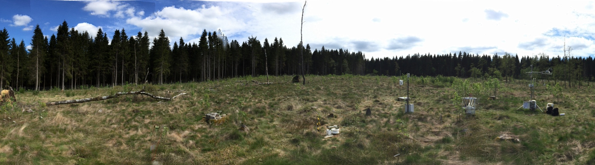
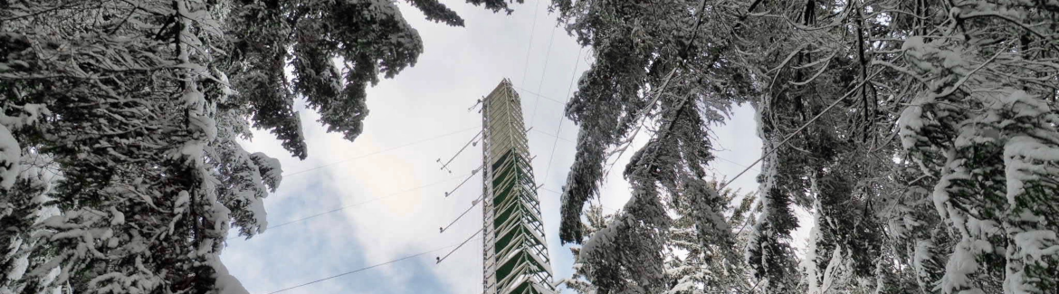
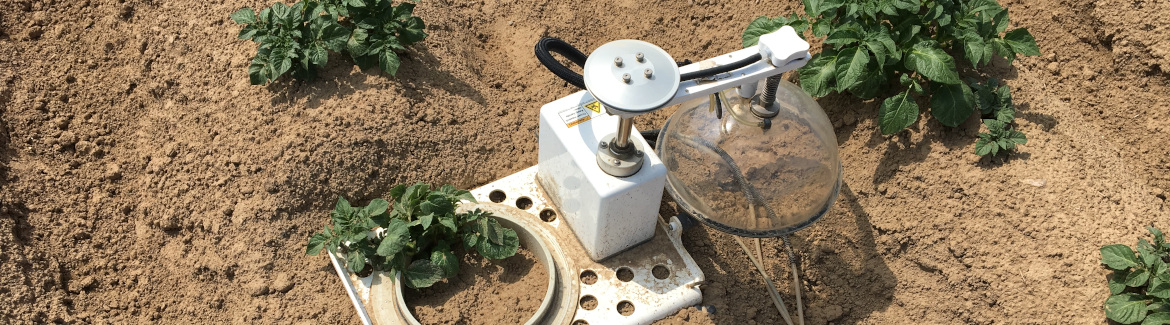
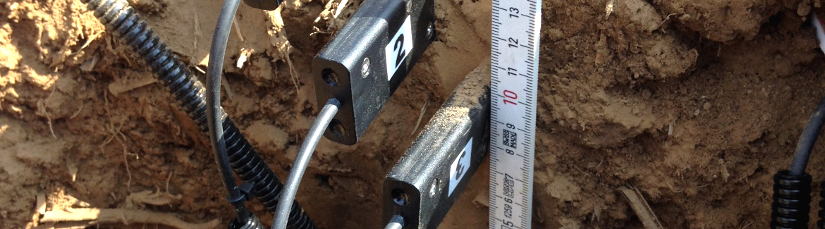
The Eifel/Lower Rhine Valley Observatory is operated by Forschungszentrum Jülich since 2008. The central monitoring site of the Eifel/Lower Rhine Valley Observatory is the catchment area of the River Rur because it covers the distinct gradients in landscape features in this region. It comprises a total area of 2354 km² and is situated mostly in North Rhine-Westphalia (Germany). From the northern to the southern part of the observatory, altitude increases from 64 to 630 m, mean annual air temperature decreases from 10 to 7°C and mean annual precipitation increases from 650 to 1300 mm. Land use is highly differentiated: The lowland region in the northern part is characterised by urbanisation and intensive agriculture whereas the low mountain range in the southern part is sparsely populated and includes several drinking water reservoirs. Furthermore, the Eifel National Park is situated in the southern part of the Rur catchment serving as a reference site.
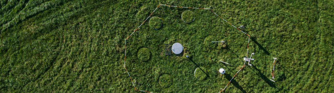
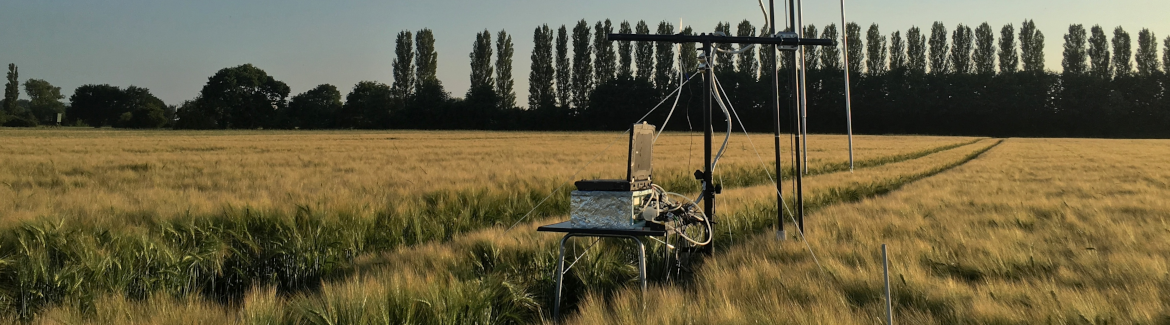
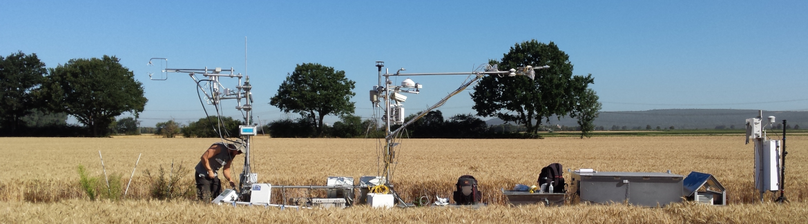
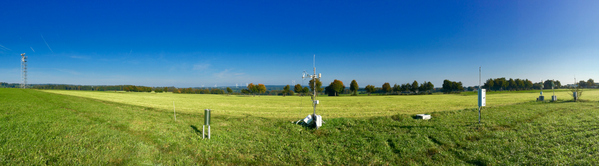
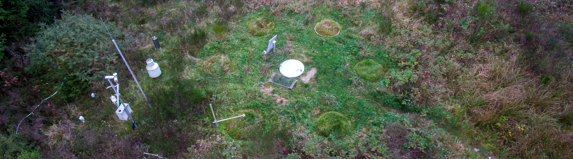
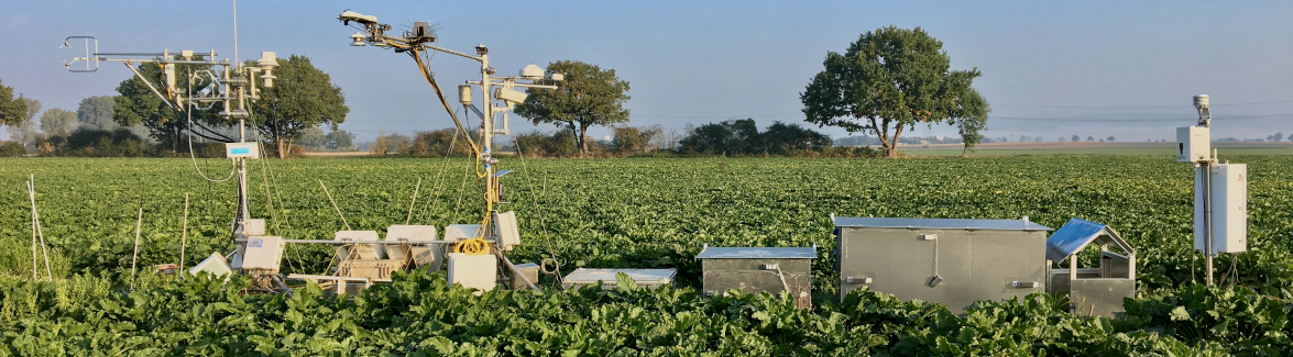
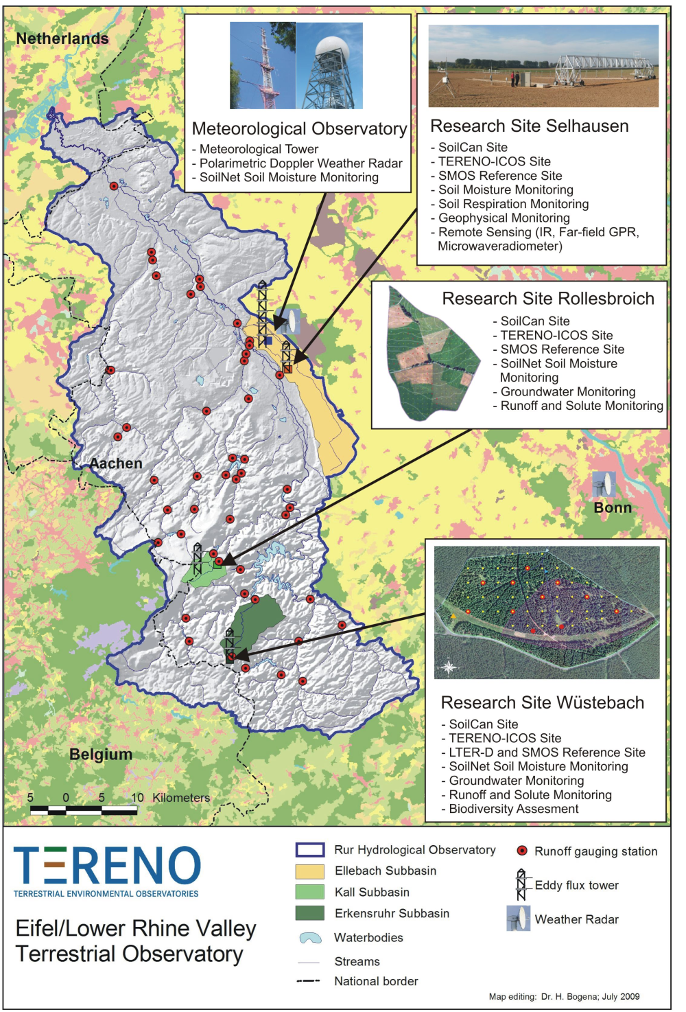 The general observation strategy follows a nested multiscale approach: More detailed measurements and characterisation of smaller, focal catchments are embedded within progressively larger catchments, allowing the critical evaluation and development of scaling strategies. Intensive test sites placed along a transect across the Rur catchments investigate the effects of climate change and anthropogenic land use on water (quality of runoff, precipitation and groundwater), energy (sensible heat, evapotranspiration, CO2 and momentum) and soil parameters (soil moisture, water content, density, texture, etc.).
The Rur hydrological observatory is part of the European Network of Hydrological Observatories (ENOHA, www.enoha.eu) initiative. In addition, data acquired in the Rur hydrological observatory is feeded it into other databases, such as the International Soil Moisture Network (ISMN) and the Integrated Carbon Observation System (ICOS) to further ease data usage.
Reference: