


Urban System
Interdisciplinary research platform in the urban agglomeration Leipzig - Halle
The urban system applies to the area of conflict between urban growth and shrinkage exemplified on the urban agglomeration Leipzig - Halle. Short-term and long-term effects of urban dynamics are investigated on different scales, from the entire urban region to neighbourhoods, from the urban landscape to single objects (house, tree).
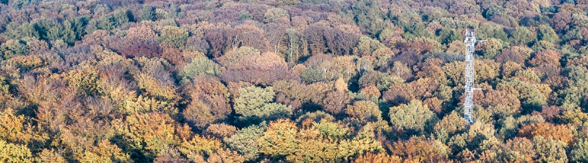
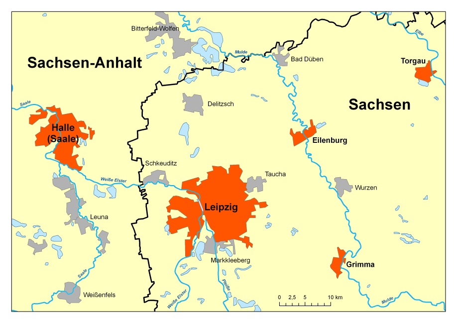 Fig. 1: Urban agglomeration Leipzig - Halle
The urban observatory is based on the following methodological toolkits:
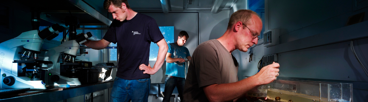
- Dynamic land-use processes and socio-demographic developments are monitored by means of remote sensing data and techniques, GIS, statistical data including cartographic modelling
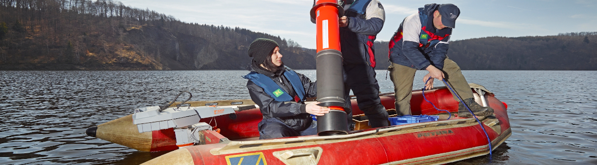
- Recording exchanges of matter (water, carbon and energy balance, pollutant fluxes and concentrations, climate parameters) using field measurements and analyses of statistical data
- Observing socio-spatial differentiation and residential site investigations through questionnaires and interviews
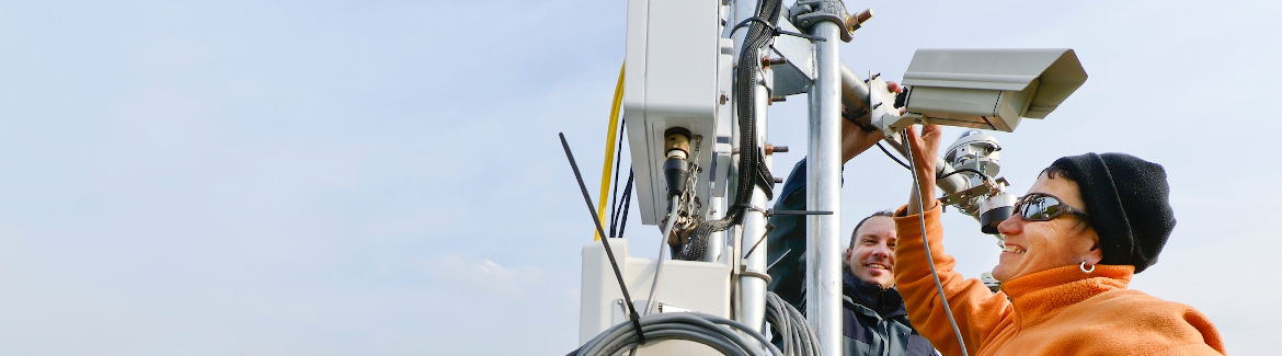
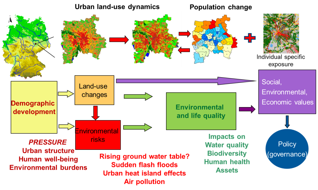 Fig. 2: Monitoring the urban system – test site City of Leipzig
The flow chart exemplifies recent and actual studies and results for the City of Leipzig. Main driver of environmental risks are demographic developments, and their dynamics started to be uncoupled from land-use changes. They show strong impact on environmental quality and quality of life in the urban area. In addition, environmental influences such as exposition to air pollution (in the graph: individual specific exposure) lead to conflicts. The complex processes must be investigated in case studies and at various scales to estimate the different social, economic and environmental values and to make recommendations for policy implementations. In this respect it is important to understand the multi-level governance structures.
The central fields of transformation are:
- Resource-efficient city
It aims at reducing resource consumption regarding space, green infrastructure, ecosystem services, energy and water. Retroactive effects onto other compartments need to be monitored as well. The observatory is carried out by means of field work, remote sensing and GIS analysis, modelling and investigation of governance structures.
- Livable city
It demands quality of life, environmental justice and health for all residents with respect to climatological, demographic and social characteristics. Focussing on living and residential neighbourhoods, different life styles, but also air pollution or green space equipment, the observations are undertaken with various quantitative (remote sensing, statistical data) and qualitative (interviews) methods.
- Resilient city
It is based on the capability to cope with extreme events such as flooding, droughts, heat waves or consequences of climate change especially environmental risks and shock. Observation techniques cover the combination of modelling, smart sensors and socio-demographic data (statistics and questionnaires).