Intensive Test Site Schäfertal
Understanding the functioning of the terrestrial system using novel observation and modeling techniques – An interdisciplinary approach
The Intensive Test Site Schäfertal has been implemented in close cooperation with the University of Applied Sciences Madgeburg-Stendal. Main goal of the research at this site is the development of methods for quantifcation and prediction of water fluxes at the small catchment scale (including selected aspects of coupled water and solute flux). Knowledge gained by intensive measurements and detailed process studies will in future be used to transfer observation concepts and process understanding to larger or less instrumented catchments.
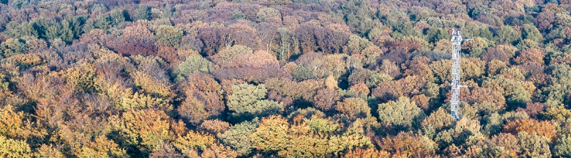
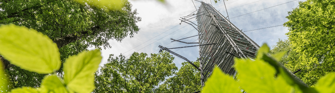
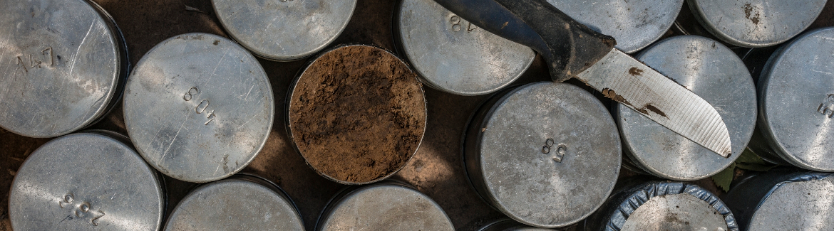
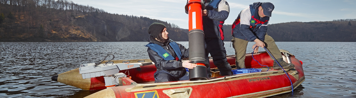
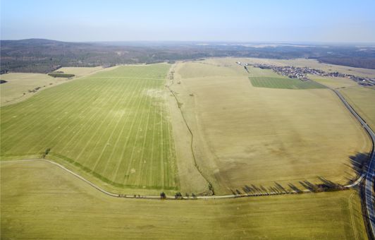 The Schäfertal catchment is a small middle mountain catchment with an area of 1.44 km². It is located on a plain in the Lower Harz Mountains (51°39'N, 11°03'E). Hydrological research in the catchment started in 1965, when a river gauge and a meteorological station were installed. Since the early stages the research focus was comparable to one of the TERENO research goals - the long-term investigation of water balance characteristics at the landscape scale including feedbacks and interaction with climatological, pedological, geological, topographical, and ecological factors. Meanwhile, the original hydrological station is maintained and operated by the University of Applied Sciences Magdeburg-Stendal, which continuously extended and modernised the research infrastructure. Today, the research infrastructure includes a highly equipped climate station, a dense groundwater observation network, a river gauge equipped with mulitparameter probe and automated sampler, and several plots to measure soil water content, soil water potential and snow water eqivalent. For many parameters data records dating back to the 1960's are available.
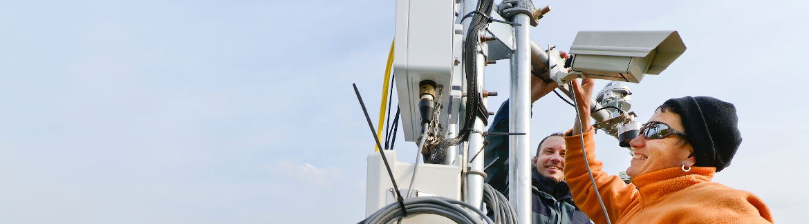
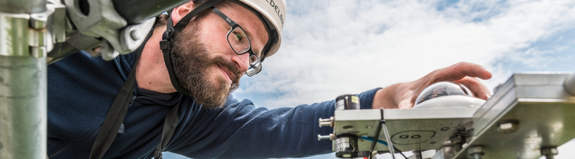
In the context of a scientific cooperation between the UFZ and the University of Applied Sciences Magdeburg-Stendal, TERENO has extended the already existing research infrastructure by a number of new technologies, operating at different scales. The focus is on the monitoring of soil moisture. These soil moisture (resp. soil moisture proxy) measurements include:
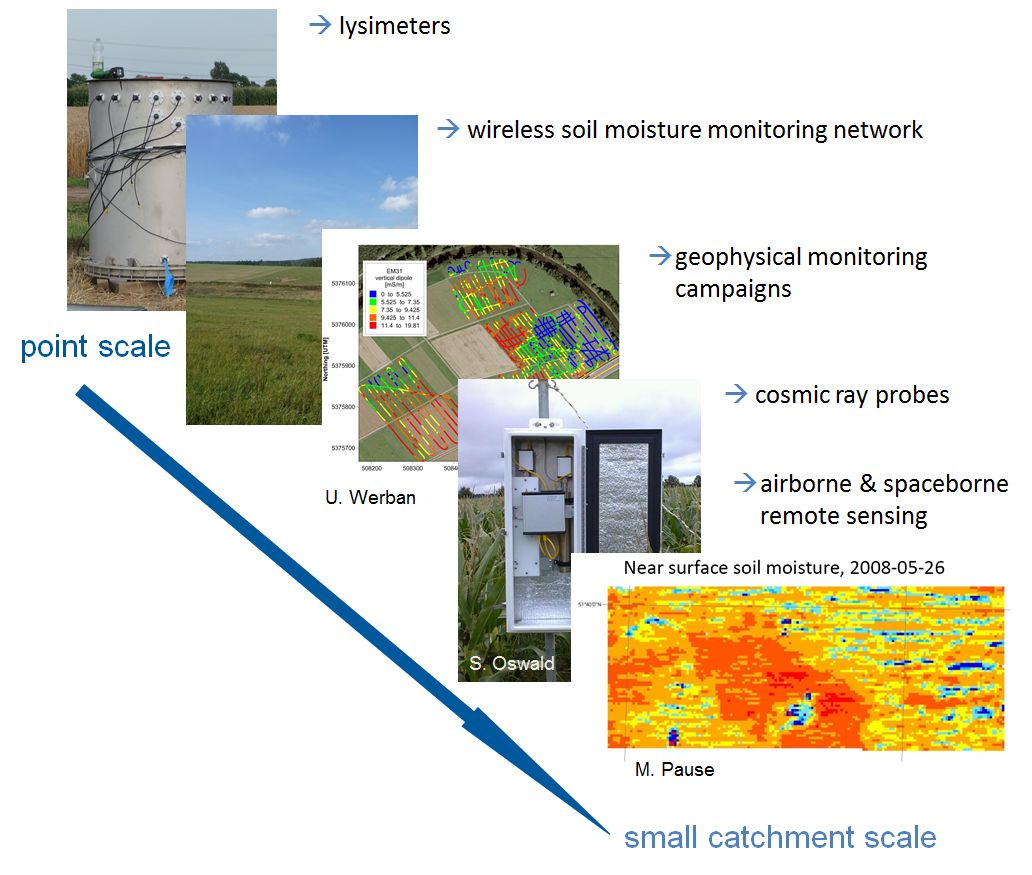 point measurements at modern lysimeters (e.g. TERENO SoilCan) using single FDR- and TDR-sensors and tensiometers
- Integration of point measurements via a wireless soil moisture monitoring network at the hillslope scale
- Cosmic Ray Probes
- field-scale geophysical measurment campaings (electromagnetic induction, gamma spectromety)
- airborne remote sensing campaigns (hyperspectrum imagery, passive and active radar)
With this, a unique research infrastructure of sensors, operating at different, but overlapping scales is available, delivering information about soil moisture and/or water stored in the soil as well as about hydrological processes within the catchment for different spatial and temporal scales.
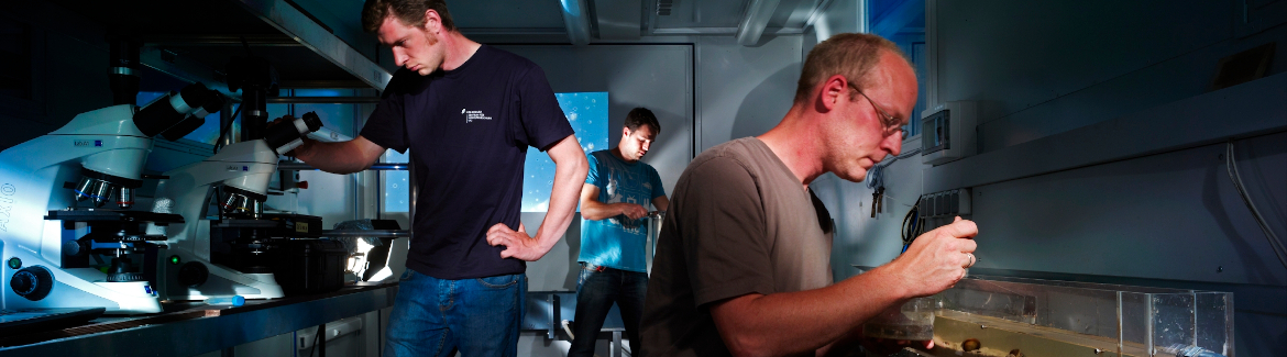
Research projects:
- Derivation of soil parameters from hyperspectral remote sensing data (PhD project Andreas Schmidt)
- High-resolution investigation of soil moisture dynamics at the hillslope scale (PhD project Edoardo Martini)
- Temporal dynamics of soil moisture - A multi-sensor approach (PhD project Ingmar Schröter)
- Effects of different land use intensities on biodiversity and ecosystem services in grasslands (PhD project Antje Kautzner)
- Physically-based modelling of hillslope-scale soil moisture dynamics (PhD project Thomas Grau)
- Soil moisture at intermediate scales: Cosmic ray neutron monitoring and the mesoscale Hydrologic Model mHM (PhD project Martin Schrön)
Contact: