Intensive Test Site Sauerbach
Quantification of water and solute fluxes within and out of an agriculturally intensively used catchment
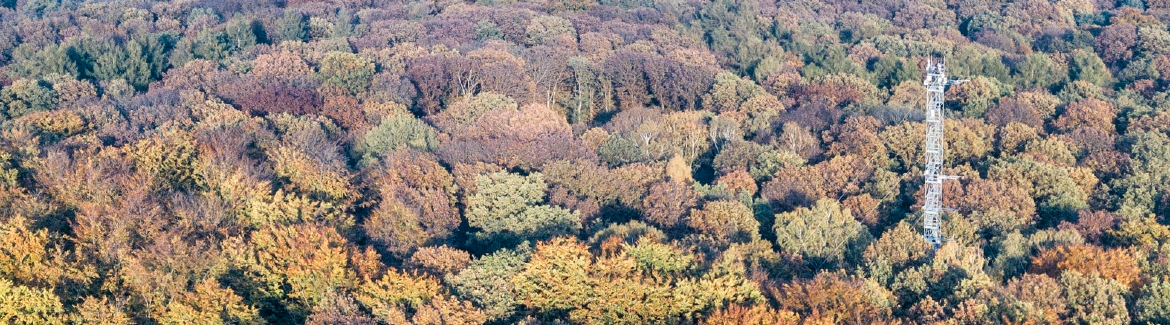
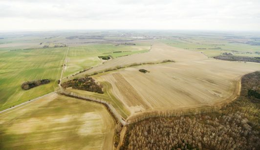
In the Sauerbach headwater catchment (aerial view - see picture) decades of intensive agricultural usage have let to a significant deterioration of groundwater and surface water quality. The Sauerbach headwater catchment is located with the Bode catchment (52°04’, 11°16’), which is part of the “Magdeburger Börde” region a fertile and intensively used agricultural lowland area. The Sauerbach drains a surface area of 1.4 km2. The stream length from the spring to the gauging station at the catchment outlet is 1.1 km.
 Research activities at the Sauerbach site address the spatial and temporal dynamics of water and solute fluxes in the unsaturated and saturated zones, between ground- and surface water and in the stream itself with a specific focus on agricultural chemicals. The general goal is the assessment of water flow and solute transport in a lowland headwater catchment. This brings together hydrologists, hydrogeologists and soil scientist combining monitoring, field experiments and numerical modelling of coupled soil water-groundwater-surface water systems.
Data from the site suggest that water quality and quantity are strongly driven by threshold behavior with different sources that dynamically contribute surface and subsurface flows to the stream channel. The specific geology at the site and the location of the GW table in different parts of a complex multi-aquifer system control the dynamics of subsurface water and nutrient inputs to the Sauerbach.
In this context, the travel time distribution (TTD) of water flowing to the stream is seen as a scalable key descriptor of water and solute fluxes in the catchment. Water flow dynamics (e.g. shifting flow paths) and related variability in water storage lead to a strongly transient behavior of the TTD. This contradicts the common assumption of time-invariant TTD as a static catchment descriptor. The work at the Sauerbach catchment will emphasize the characterization of transient TTD and their relationship to catchment water and solute fluxes.
Water quality deterioration within the aquifers is a result of recent and historical fertilizer and pesticide inputs. The concentration of nutrients and pesticides is assumed to be generally related to groundwater age. A longer residence time should result in a more pronounced attenuation of dissolved substances. On the other hand, the solute input functions are not constant with time. For example, the use of fertilizers reached a peak during the 1970s to the 1980s. Older groundwater can be affected by these peaks and may reflect quite a different spectrum of agrochemicals. The work at the Sauerbach will cast new light on the water quality-age relationship and quantify the solute contributions from different subsurface regions that are connected to the receiving stream by dynamically shifting flow paths.
Finally, the river bed is seen as an important reactor, mediating the flux of agricultural chemicals. An additional objective of the work at the Sauerbach is the quantification of solute turnover in the river bed and to evaluate the relative importance of geologically controlled GW-SW interactions versus hyporheic exchange.
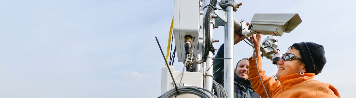
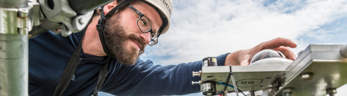
The Sauerbach site is highly instrumented including:
- Gauging Station with multiparameter probe and automated sampler
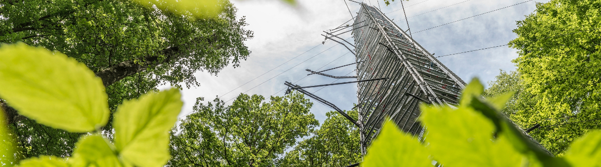
- Climate station and 3 additional precipitation logger
- 10 observation wells with automated water level measurements
- 2 instream loggers for water level and electrical conductivity measurements
- 5 probes for multilevel temperature measurements in the streambed
- Lysimeter station
Contact: