

Background
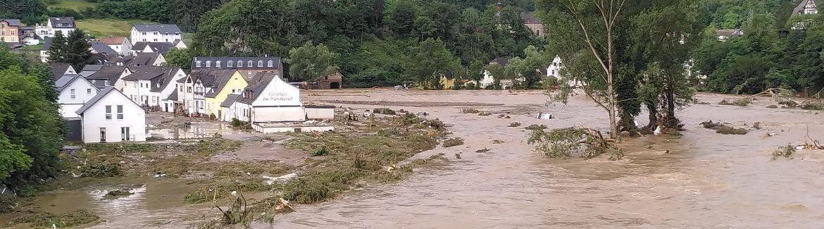
For various reasons the radar rainfall measurement is of particular high importance: firstly, the need for comprehensive measurements in the face of recurring partly remarkable rainfall in the region and the intensive use of large hydroelectric power. Secondly, the point measurements of the often few ground precipitation collectors allow estimates of the areal precipitation with limited reliability. Especially in high altitudes ground measurements are affected by wind errors. Finally large amounts of precipitation imlicate risks such as floodings, which need to be predicted in advance. Reliable, early forecast of heavy rainfall is of crucial importance for the mitigation of flooding.
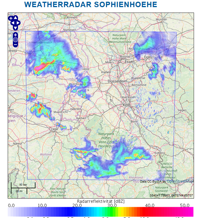
Measuring principle
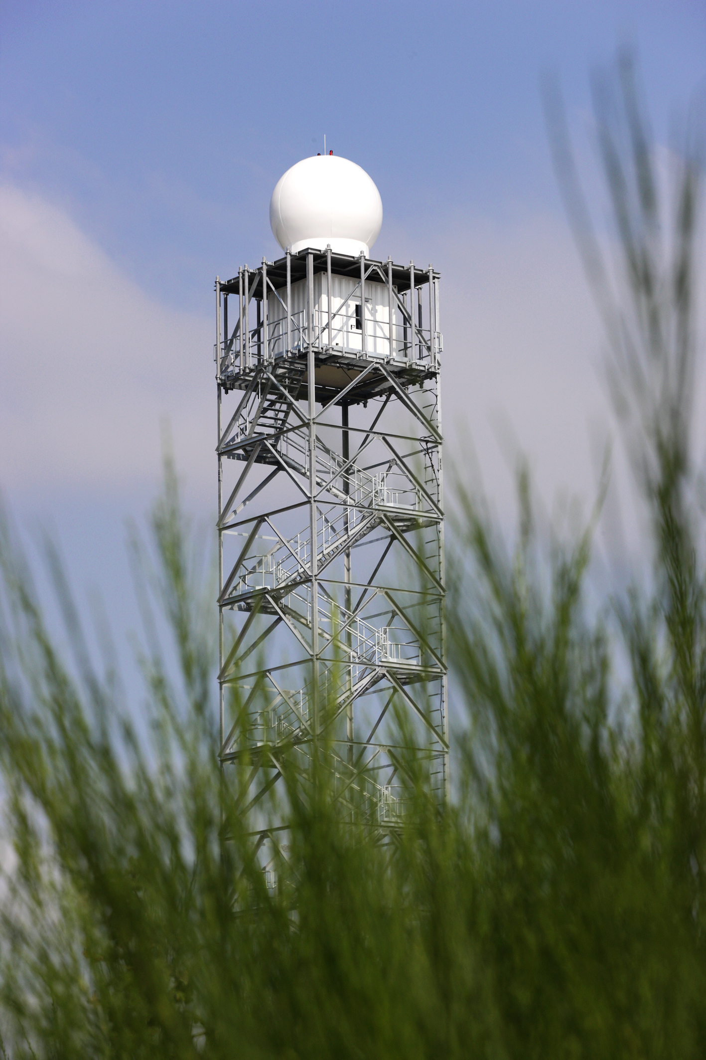
The precipitation radar transmits pulsed microwaves at a frequency of 9.8 GHz (ca. 3 cm wavelength). The waves are emitted with a capacity of up to 200 kW and a pulse width between 0.2 µs and 2 µs. They are partially reflected by water drops while they pass through the atmosphere. These reflections are received and evaluated. The more raindrops, snowflakes, ice crystals or hail a cloud contains, the more microwave radiation is reflected. From the time difference between the transmitted and reflected radiation the distance between the rain drops to the radar is calculated. The reflection intensity is used to calculate the precipitation rate. The Sophienhöhe head over tailings dump of the Hambach open pit surrounded by flat land about 200 m. This guarantees a very small perturbation of the measurement signal right into the Eifel region. This outstanding position makes it possible to carry out precipitation measurements even at very low inclination angles, without disturbing influences of elevations (hills, buildings, poles, etc.).
...watch the Weather Radar Jülich