
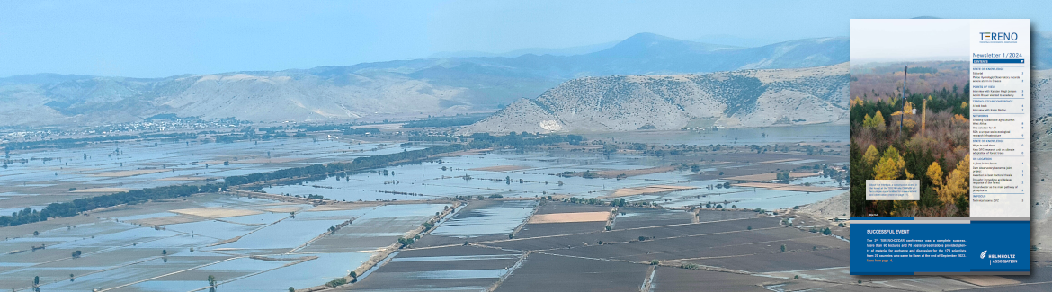
Selhausen agricultural research station
Ralf Kiese: Bodennutzung im Alpenvorland (ger)
One key research question addressed at the Rur hydrological observatory is: How are complex patterns of state variables and parameters of the hydrological system reflected in the heterogeneous inter- and intra-compartmental fluxes of heat energy, water, C, N, and momentum at different spatiotemporal scales? More specific hydrological research questions that are being tackled are:
- How do patterns of soil moisture impact hydrological processes such as runoff, evapotranspiration, and water storage?
- What are the key drivers for biogeochemical processes, e.g., related to nutrient transport in stream and groundwater and greenhouse gas emission?
- What are the key controls on travel time distributions?
- What is the information content of spatially and temporally highly resolved soil moisture data?
How do patterns in crop development and yield relate to soil water dynamics under drought conditions? - How can data assimilation and cloud computing support the realtime management of water resources?
To answer these questions, a multiscale multitemporal hydrological observational platform was established and dedicated field campaigns and longterm experiments were incorporated.
The Selhausen Agricultural Station
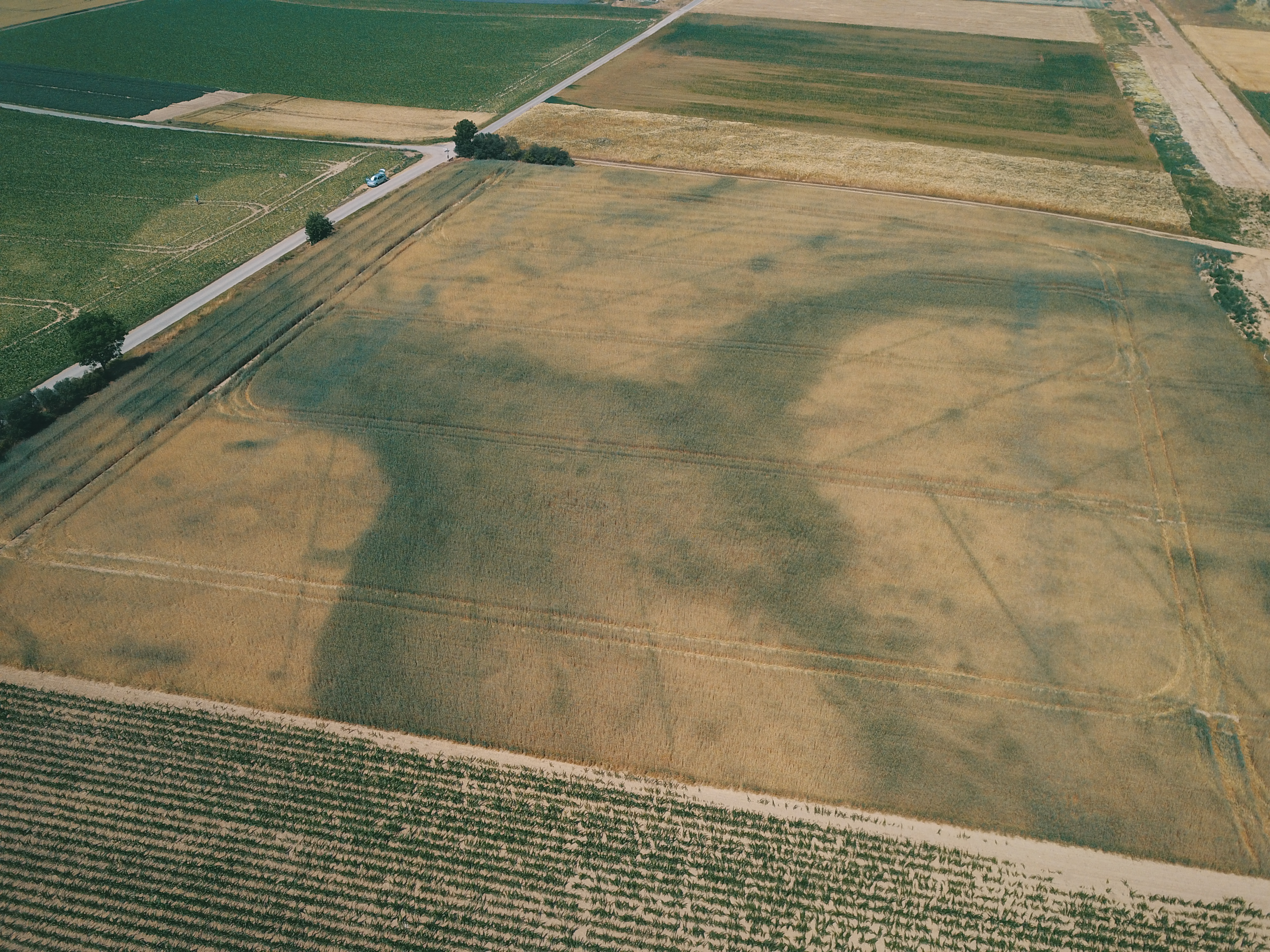 (Photo: FZJ)The Selhausen agricultural research station (50.865°N, 6.447°E, about 100–110 m asl) consists of 51 agricultural fields covering an area of about 1 by 1 km and represents the heterogeneous rural area of the lower Rhine valley (main crops are sugarbeet, winter wheat, winter barley [Hordeum vulgare L.], maize, and rapeseed [Brassica napus L.]). This region belongs to the temperate maritime climate zone, with a mean annual temperature and precipitation of 10.2°C and 714 mm, respectively. The soil was classified as a Cambisol with a silty loam texture.
Selhausen agricultural research station
The Rollesbroich Experimental Catchment
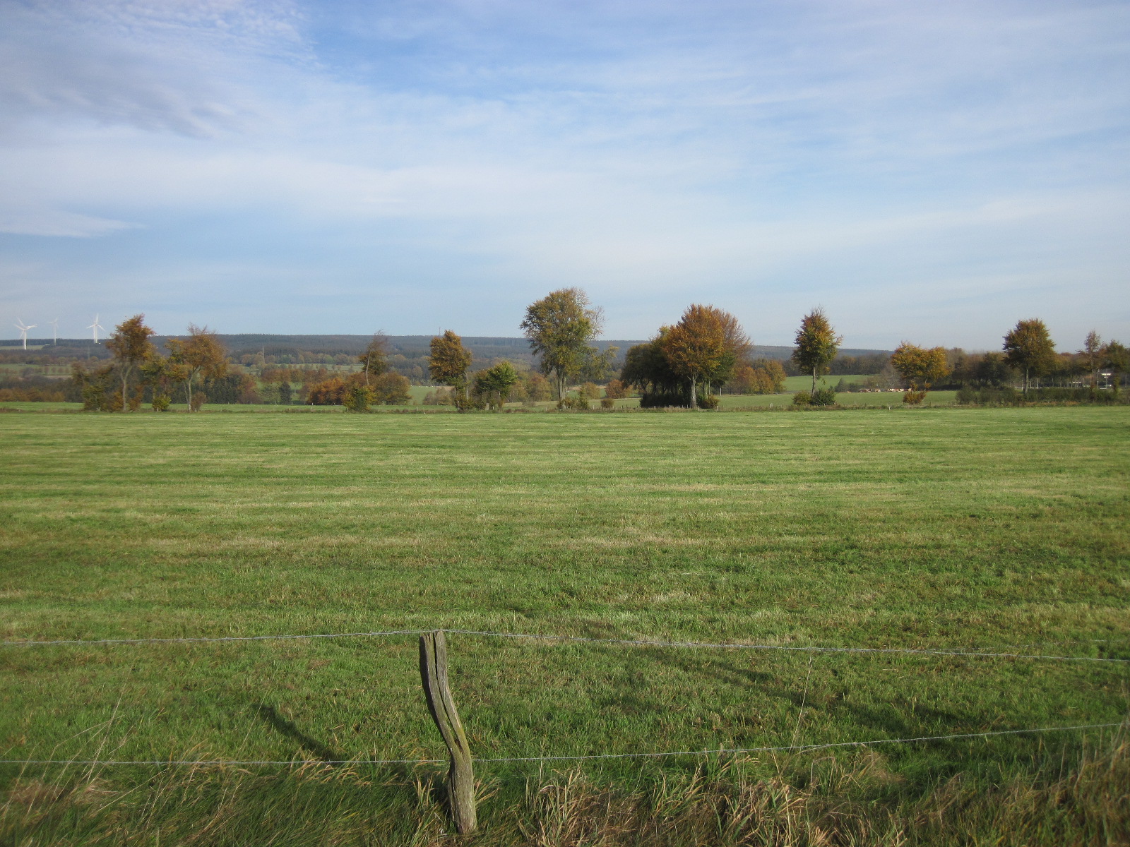 (Photo: Marius Schmidt FZJ-IBG3)The Rollesbroich grassland experimental catchment is located in the Eifel mountain range and covers an area of about 40 ha, with altitudes ranging from 474 to 518 m asl and an average slope of 1.63°. The mean annual air temperature and precipitation are 7.7°C and 1033 mm, respectively. The dominant soils are Cambisols in the southern part and Stagnosols in the northern part of the catchment. The grassland vegetation is dominated by perennial ryegrass (Lolium perenne L.) and smooth meadow grass (Poa pratensis L.).
The Wüstebach Deforestation Experiment
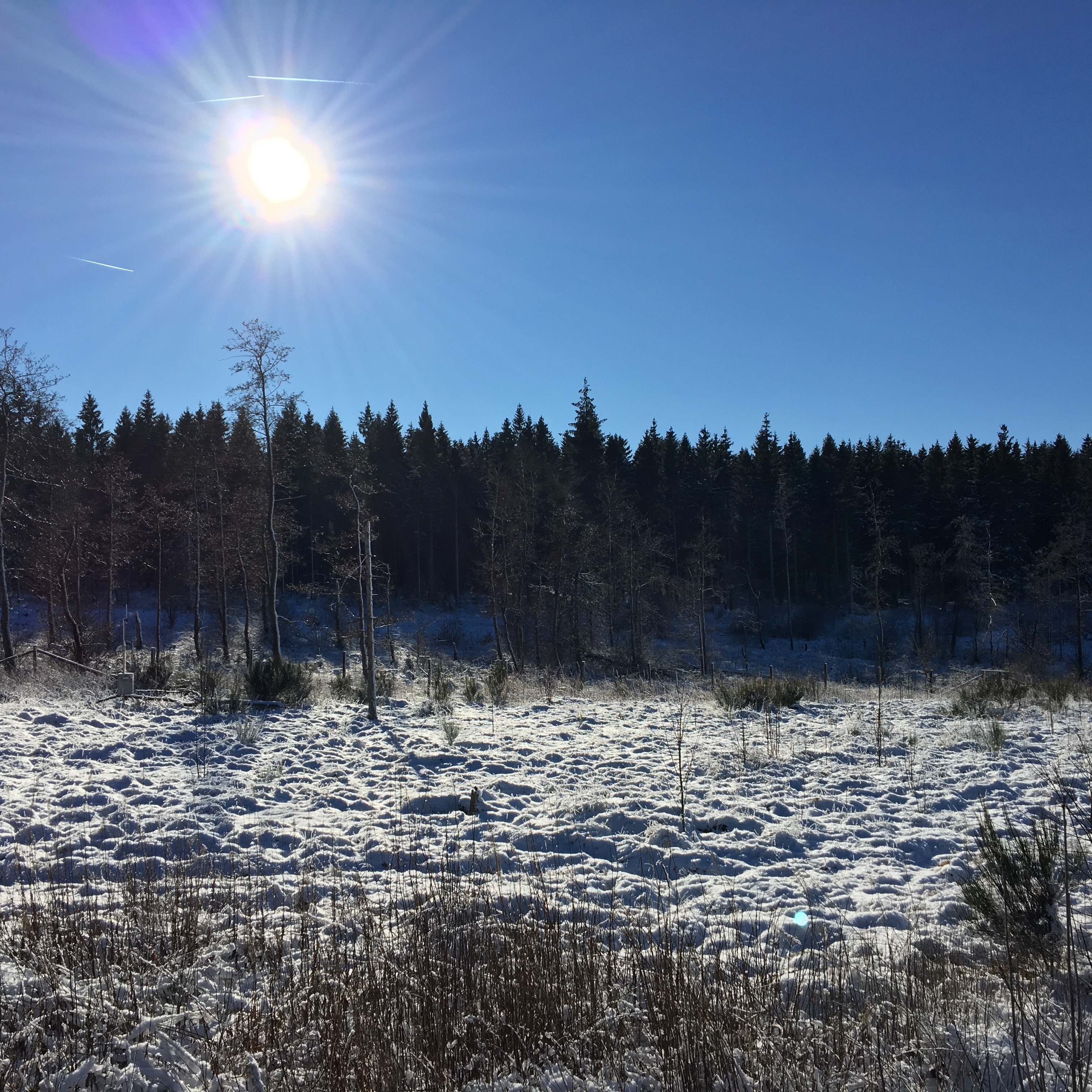 (Photo: Marius Schmidt FZJ-IBG3)This experiment investigates the effects of clear-felling of a spruce forest on hydrological processes in the Wüstebach catchment (Bogena et al., 2015b). The Wüstebach catchment covers an area of 38.5 ha, with altitudes ranging between 595 and 628 m asl and an average slope of 3.6%. The geology is dominated by Devonian shales covered by a periglacial solifluction layer of about 1- to 2-m thickness in which Cambisols and Planosols have developed on the hillslopes and Gleysols and Histosols have formed under the influence of groundwater in the valley. The main soil texture is silty clay loam. The mean annual precipitation is 1220 mm (Bogena et al., 2010), and the main vegetation is Norway spruce [Picea abies (L.) H. Karst.] planted in 1946. During the late summer of 2013, trees were almost completely removed in an area of 9 ha near the main Wüstebach stream to initiate the regeneration of near-natural beech (Fagus sylvatica L.) forest.